

 | ||
Trip to Mount st. Helens July 25, 20013Sometimes it is easy to take for granted the beautiful state we live in, growing up in Washington we would often travel to see Yellowstone, Zion, Glacier, Grand Tetons, Oregon Coast while each of these places are amazing and beautiful. We would drive right by Mt. Saint Helens, it wasn't until 10 years ago that I visited for the first time. For the last 10 years I have tried to get my parents to go, well we finally made it. |

The view from the first visitor center going up the mountain...there is a $5 fee for this center my advise is to
skip this stop and continue on up the Mountain until you get to the Forest Education Center this is free of charge and very informative about the reforesting after the eruption, how they recovered the trees.
From this stop you can view elk, they have telescopes....we had fun looking but the only one we seen was the statue in the parking lot.


Darren took this picture of deer beside the road. The drive up to Johnson Ridge is very pretty..it is amazing how fast the forest has grown back.


This squirrel was enjoying a feast of Alpine Lupine seeds pods....


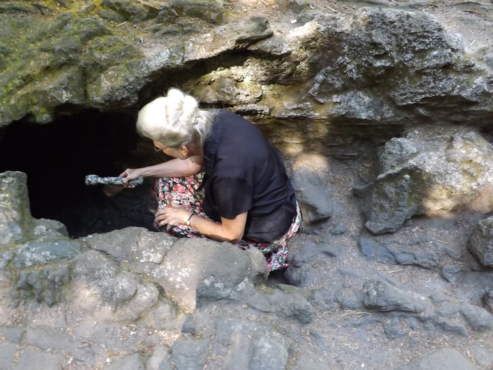
Darren heard this noise...we followed it can you see what was making the noise?


Even the bees have found the flowers up here.

We head the 56 miles back to the bottom ..being it was getting to be dinner time we found this cute little restaurant on our way.


The view from our table...the boys had elk burgers and mom and I shared a patty-melt.
 |
| Spectacular roses |


Another sunny day in SW Washington..We went to the South side of the Mt. Saint Helens our plan was to see the Tale of two Forest, hike Ape cave and visit Lahar lookout, hike Lava Canyon. The ride up there was so pretty lots of trees, lakes and views. Sparking waters!


Was a tight crawl, in the dark.


 Here comes Dustin


On to Ape caves...This is a lava tube for the eruption 2000 years ago.


The entrance to the cave...

Here we all are, ready for our adventure!!!


Notice the bolder stuck in the top part of the cave....


Had a picnic lunch with some interesting looking people....


You can see the ash blowing up the inside of rim....making some people think it is coming back to life.


This hike begins with the wide, paved Lava Canyon Interpretive Trail, which leads to a viewing platform overlooking a stunning canyon-a deep, jagged cut through a thick layer of ancient lava. From the viewing area, the trail loops down to the canyon rim in a long series of steep (for wheelchair users) switchback turns offering excellent views. The Muddy River cuts through the heart of this basalt canyon, which was scoured clean by the rushing mudflows during the 1980 eruption. The main Lava Canyon Trail continues east along the wild gorge of the Muddy River. You won't find grand vistas or sweeping panoramas here. You will find a remarkable lesson in geological change-this valley was carved in part by a massive lahar, or volcano-induced mudflow of massive proportions.
Start off your hike with a warm-up along the 0.5-mile-long Lava Canyon Interpretive Trail. This barrier-free trail is designed to be accessible to wheelchairs and anyone with mobility issues. The interpretive trail offers an excellent lesson in the awesome power of nature. Numerous benches line the route, offering welcome rest stops on the climb up the 8-percent grade back to the trailhead.
From the end of the paved route, head out along the main trail. The trail starts on a few metal stairs through the fields of broken lava, then leads across a springy suspension bridge. From the far end of the bridge, descend a steep 0.5 mile to the very edge of the heart of the Lava Canyon Gorge. A long ladder leads down about 30 feet to the gorge floor.
Walk the bottom of the gorge as the trail winds through clumps of fern and bracken and alongside the small creek. The trail soon loops back out of the inner gorge and continues down the valley, staying up the canyon wall above the inner gorge.
A bit over a mile past the suspension bridge, you'll find a small side trail marked "The Ship," referring to a tall fin of lava. A stand of trees atop the fin appear to be masts rising from a ship of rock. The spur trail leads to the crest of this formation, offering views of a series of small waterfalls in the lower Muddy River canyon.
The main trail continues down the canyon, weaving through dense forest growth along the steep canyon wall. The exposure here is extreme at times, as the path runs along the edge of the gorge now and then. Use extreme caution. The trail leaves the forest and bursts out on a broad plain of rock and flood debris. This is the junction of Smith Creek and Muddy Creek. Turn back here.
Driving Directions:
From Cougar, drive east on Forest Road 90
just 1 mile beyond the Swift Dam, and turn left (north) onto FR 83.
Drive about 12 miles to the road end and trail head.
What the sign said we would see.....and the warnings


And the trail to the falls


Looks easy.... Sign by boy told there were 3 loops...easy, moderate, and difficult. Ok, lets take the easy as
Mom new hip is only 9 months old, the boys were going for moderate and we would meet back at car, Sounds like a great plan. However....


And Mom and Dad follow me....


So thinking Mom and Dad were on easy trail I followed the boys...

A 20 foot drop down a rock....
 |
| A long ways straight down...... |


 |
| Interesting rock formations |

Finally, I caught up with the boys at the suspension bridge ...


 |
| The falls under the bridge. |

 |
| the falls looking the other way. |


 |
| The last part of the hard trail |
 |
| A ball of mud that roll down the mud flow...like a snowball |

 |
| Only Dustin and Dad would get excited over a shot up stop sign. |


Awesome! I'm so glad you finally posted some photos! Its so cool and I hope you take me there next summer.
ReplyDeleteWhat a fun three days we had........It was so beautiful everywhere we went!!!!
ReplyDelete